Unlock Precise Location Intelligence
MH Community Data Services delivers a specialized API providing high-value geospatial, regulatory, and community-level intelligence for any U.S. location. Get accurate, property-level insights today.

Accurate Property Insights
Our API delivers precise, property-level insights, ensuring your decisions are based on the most reliable and up-to-date geospatial data available.

Reliable Community Identification
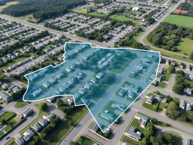
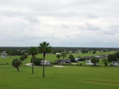
Confidently identify mobile and manufactured home communities with our API, receiving unique IDs to feed internal loss models, names, and sizes for data validation.

Comprehensive Data Points
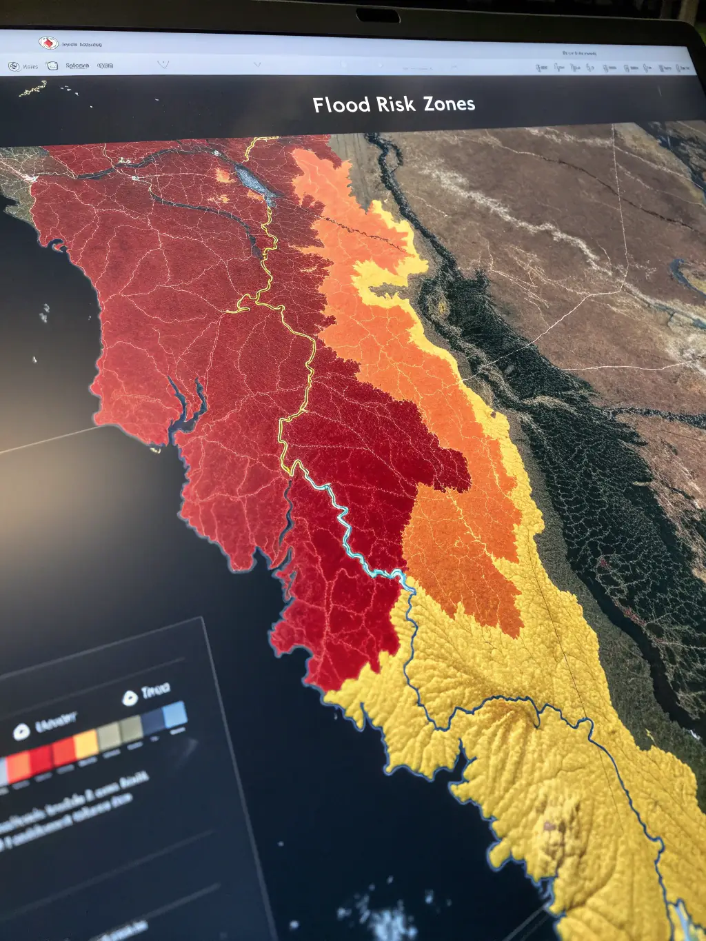
Access a wide range of optional datasets, including distance to coast, windpool eligibility, and HUD zones, to support underwriting, pricing, and risk segmentation.
Seamless Integration
Integrate our API effortlessly into your existing systems, automating property analysis and enhancing your operational efficiency with reliable data and enhanced straight through processing.

Unlock Deeper Insights with Our Comprehensive Data Points
Our API goes beyond basic location data, offering a wealth of optional datasets to enhance your analysis. From coastal proximity to local government details, we provide the data points you need for accurate risk assessment, precise underwriting, and informed decision-making. Explore the possibilities and tailor your data requests to meet your specific requirements.

Distance to Coast Data
Understand the coastal proximity of any location with our precise Distance to Coast data. Access hydrographic and client-defined coastlines for detailed risk assessment and informed decision-making. This is crucial for insurance and property evaluation.
Windpool Eligibility Insights
Determine windpool eligibility with our API, ensuring accurate risk assessment for properties in coastal regions. Access state-specific windpool data to streamline underwriting and pricing processes. Stay compliant with regulatory requirements effortlessly.
HUD Zones Identification
Identify HUD Manufactured Housing Zones (Wind, Roof Load, Thermal, and Humid Fringe), with ease, ensuring compliance and accurate property assessment. Our API provides precise zone identification for informed underwriting and risk management. Access critical data for manufactured housing properties.
Location Data to Actionable Insights
Our API transforms raw location data into a comprehensive set of actionable insights. Simply submit a latitude/longitude pair or street address, and our system will return detailed geospatial, regulatory, and community-level intelligence. This includes identifying mobile/manufactured home communities and providing key data points for risk assessment and underwriting.


Enhanced Underwriting Accuracy
Leverage our API to validate location data, ensuring accurate risk assessment and reducing potential losses in manufactured home communities.

Dynamic Pricing Adjustments
Implement dynamic pricing strategies based on community size and operator, optimizing revenue and maintaining competitive rates using our comprehensive API.

Improved Risk Segmentation
Segment risks effectively by identifying elevated risk conditions, such as communities with aging infrastructure, using our detailed API data points.

Streamlined Operations
Automate operational controls and ensure compliance with underwriting restrictions, reducing manual errors and improving overall efficiency with our API.